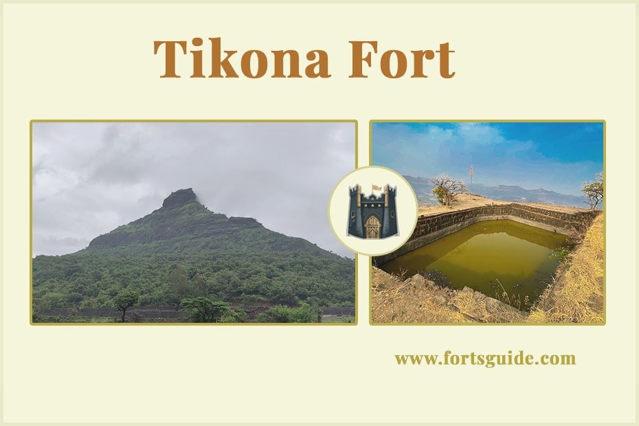
| Fort Name | Tikona Fort |
|---|---|
| Height from sea level | 3850 |
| Type of fort | Hill fort |
| Trekking difficulty level | Medium |
| Fort place | Pune |
| The base village of the fort | Tikonapeth |
| Fort visiting time | |
| Trekking time | 45 minutes to one hour from the base |
| Entrance fee | – |
| Accommodation availability | accommodate 10 to 15 people during all seasons except the monsoon. |
| Food availability | No food at fort, bring your own |
| Water availability | Fort has year-round drinking water cisterns |
Tikona Fort Information Guide : Hike, History & Must-Sees
Tikona Fort : A Brief Overview Everyone is familiar with Lohagad and Visapur forts, which are easily visible from the Mumbai-Pune Expressway. But behind these forts, in the Pavna Mawala region, lies a fort named Tikona (Vitandgad) which we will be exploring.
Hidden from direct view due to its location behind Lohagad and Visapur, this fort can still be seen from the expressway. After climbing the Bhor Ghat, you can see the Karla, Bhaja, Bedse, Bhandara, and Shelarwadi caves. These ancient Buddhist caves were protected by the Lohagad, Visapur, Tung, and Tikona forts. Many ghat routes passed through this area connecting ancient ports to the ghat tops, and these forts were built to control them.
It is believed that these forts were built between 800 and 1000 AD, as the Buddhist caves in this region belong to the Mahayana and Hinayana sects.
Tikona fort places to visit
Fort Entrance
After entering the fort, turn left.
A little further, you will see a water tank and a cave.
This cave can accommodate 10 to 15 people.
However, the cave is not suitable for living during the rainy season due to waterlogging.Bala Killa (Upper Fort)
The path that goes up from the side of the cave will take you directly to the entrance of the Bala Killa (Upper Fort).
The steps to the entrance are very high and tiring.Water Tank and Bastion
As you enter the door, you will see a water tank on the right and a bastion on the left.
A little straight ahead, there is a descending path on the right.
Here you will find some water tanks.Mahadeva Temple
From here, turn back and follow the straight path.
This path will take you to some broken steps.
From here, you will see the Mahadeva temple right in front of you.
There is a large water moat behind the temple.Flagpole
After going around the moat, you will reach the place of the flagpole.Fort Views
From the Bala Killa (Upper Fort), you can see Tung, Lohagad, Visapur, Bhoratashi Dongar, Morse Dongar, Jambhul Dongar, Pavne Pariser and Fagan Dam, all standing right in front of you. The entire Mawala region is visible from the fort.
Tikona fort how to reach ?
Via Bedse Caves
Many trekkers do a combined trek of Lohagad, Visapur, Bedse Caves, and Tikona in one go. You can start from Tikonapeth and visit the Bedse Caves first.Via Brahmanoli
Many trekkers do a combined trek of Tung and Tikona. For this, you will first need to descend to Tungwadi after seeing Tung Fort and then go to Kevare village. From Kevare village, you will have to cross the Tikona River by boat and reach Brahmanoli village. The distance from Brahmanoli to Tikonapeth is a 30-minute walk.Via Tikonapeth
Tikona Peth village is the main route to reach Tikona fort.
For this, you will have to get down at Kamset station. Take a bus from Kamset to Kale Colony and get down at Kale Colony. Bus and jeep services are available from Kamset to Kale Colony. Bus and jeep services are also available from Kale Colony to Tikonapeth. You will have to reach Tikonapeth village by this bus or jeep. The Pound bus that leaves Kamset at 8:30 am will take you directly to Tikonapeth. You can take a Kamset to Morse bus and the bus will take you to Tikonapeth. It takes 45 minutes to reach the fort from Tikonapeth. The path is not too difficult and easy to walk. Once you enter the fort gate, there is a path on the left side through which you can reach the Bala Killa in 20 minutes.
